In order to determine the best sites for refugee settlement, we calculated the values of the environmental and social factors important to camp locations. Below you can see the individual data maps for each of the factors that we considered.
Interactive web map
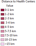
The map below is an interactive application that will allow you to see the data for health centers projected onto our area of focus. Zoom in to see our analysis for distance to these centers.
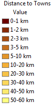
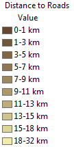
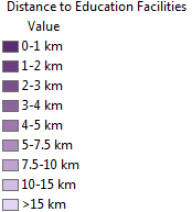
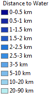
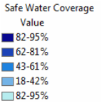
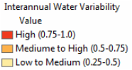
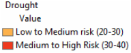
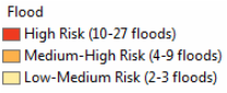
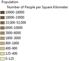
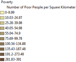
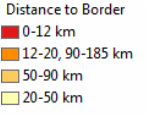
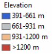
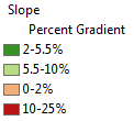
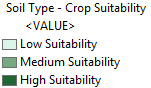
If you would like to learn more, click the button below to take you to a web map were you can mix and match the layers. Simply click on the "Contents" tab in the left hand corner. Below are the legends for each data layer to guide you through each map.
|
|
|
|
|
|
|
|
|
|
|
|
|
|
|

|
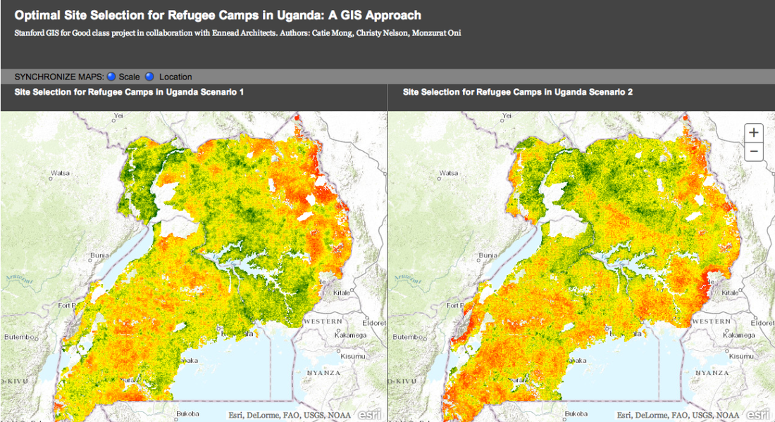
Interactive Web App
Below is a screen shot of our web application comparing the final results of the two scenarios. Click the button to go to our web app.